



FAQ
1. What is georeferencing?
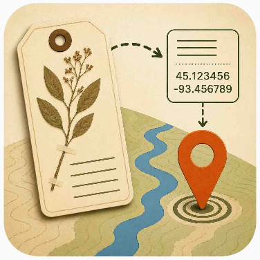
Georeferencing is the process of determining where a specimen was collected based on the locality information recorded on its label. The result is a location on a map that can be used for scientific research.
2. What am I looking for in the locality description?
Look for geographic clues such as place names, roads, rivers, mountains, parks, distances, directions, and other landmarks. These details help identify the most likely collection location.
3. How do I use the map to find a location?
Use the locality description to search for places and landmarks on the map or outside resources mentioned in the Field Book. Start with the most specific place name you can identify, then use any additional information on the label to narrow down the location.
4. What if I can't find the place?
Don't worry if you cannot identify every locality. Some specimen labels contain outdated place names, incomplete information, or locations that no longer exist. Make your best effort using the available information and follow project instructions for uncertain locations.
5. What if there are several places with the same name?
Use other information on the specimen label—such as the state, county, nearby landmarks, or collector notes—to determine which location is most likely. If the locality remains ambiguous, select the option that best matches the available evidence.
6. How precise should my location be?
Place the point as accurately as the locality description allows. Some records describe a very specific place, while others only identify a general area. Match the uncertainty of your georeference to the information provided. In other words, sometimes your uncertainly radius may be very large.
7. What does uncertainty mean?
Uncertainty describes how confidently the collection location can be determined. A precise locality has low uncertainty, while a vague locality has higher uncertainty. Recording uncertainty helps researchers understand the reliability of the georeference.
For this project we'll be using point-radius method to represent uncertainty. The point-radius method is not a perfect way to represent the uncertainly, but is generally considered much easier than using complex shapes.
8. What does a zero uncertainly mean?
Some points may be returned with a zero (0) uncertainly. This does not mean that GEOLocate predicted the geographic coordaintes perfectly. This just means that GEOLocate was not able to estimate an uncertainly. In these case, please take extra time to edit the uncertainty value.
8. Why might my answer differ from another volunteer's?
Many locality descriptions require interpretation, and reasonable people may arrive at slightly different answers. Comparing multiple volunteer georeferences helps identify the most reliable location and improves data quality.
9. How does my work help science?
Georeferenced specimen records allow scientists to map species distributions, study biodiversity change through time, understand the effects of climate change, and support conservation efforts. Every georeferenced specimen adds valuable information to our understanding of life on Earth.
10. What if I make a mistake?
Mistakes are a normal part of the scientific process. Your georeference will be combined with contributions from other volunteers and reviewed using quality-control methods. By participating carefully and thoughtfully, you are making a valuable contribution to biodiversity research.