


Finished! Looks like this project is out of data at the moment!
Thank you for your efforts! We've completed our project! To browse other active projects that still need your classifications, check out zooniverse.org/projects
Research
Our Motivation
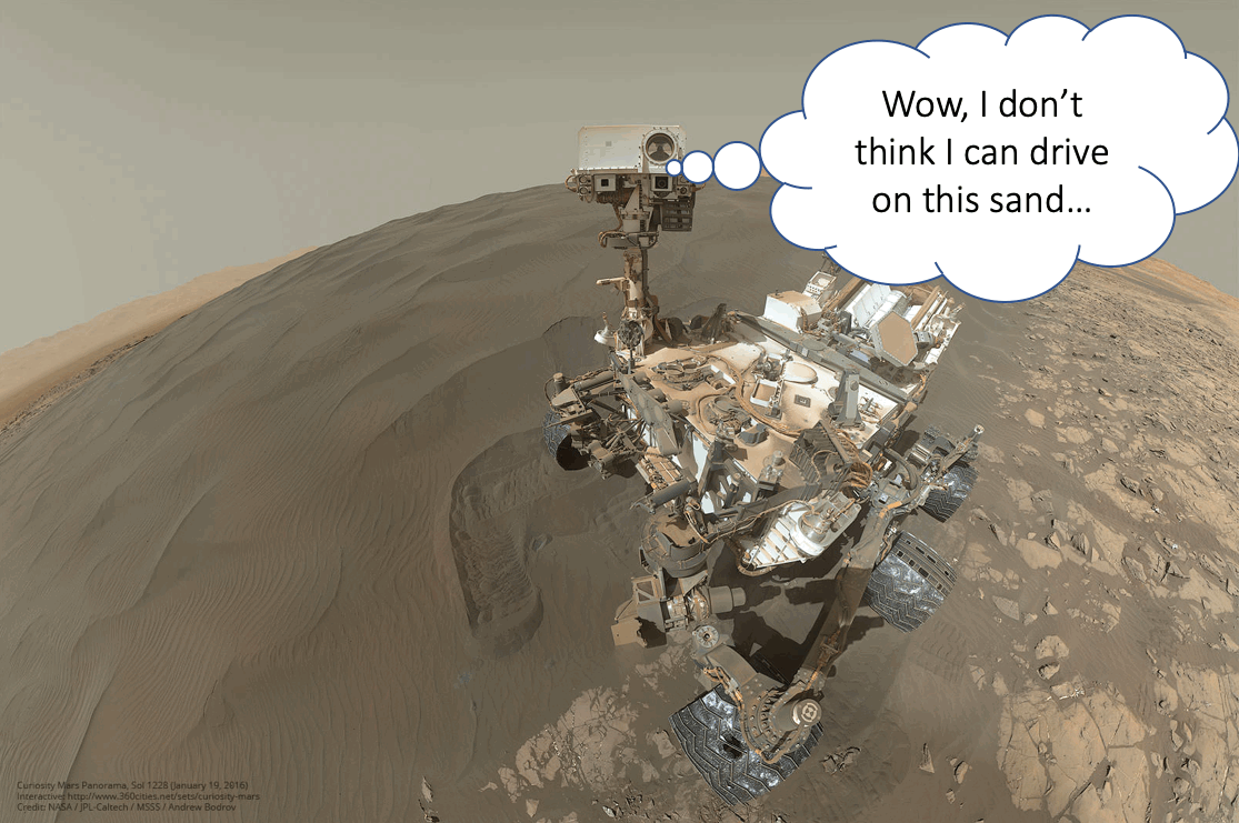
Terrain is important to get around on Mars. Spirit got stuck in a sand pit and ended its mission after 7 years of exploring Mars (but far exceeding its nominal mission length of 90-days). Opportunity and Curiosity also have experienced getting stuck in sand, although they were able to continue on their missions. Don’t you think it would be nice if the Mars rover could identify dangerous terrain by herself? That is what a team at NASA Jet Propulsion Laboratory is working on using Machine learning – essentially the same technology used by self-driving cars on Earth. To do so, the rover needs training data to learn from.
The Problem
On Earth, researchers across the globe have managed to curate many different datasets for things we encounter in day-to-day life, such as house numbers, cityscapes, random stuff, and maybe most importantly, puppies and kittens!
Sadly, all of this data is of little use for mission critical, autonomous exploration of other celestial bodies...
Our Goal
We're counting on citizen scientists' help in labeling a set of images captured by Mars rovers so that we collectively create the Solar System's first public benchmark for Martian terrain classification. Uncrewed space exploration will depend on the rover knowing where it's safe to drive, land, sleep and hibernate; this project is an early step in that direction.
The Dream
With this dataset, we (that includes YOU) will be able to start work on new machine learning approaches for exploring Mars.
If you want to know more about our Mars rover missions...
Our research on Mars rover AI...
On-board terrain classification (SPOC-Lite)
Machine Learning-based Analytics for Automated Rover Systems (MAARS)
Publications
- MAARS: Machine Learning-based Analytics for Automated Rover Systems, M. Ono et al., to be presented in IEEE Aerospace Conference, 2020
- Vision-Based Estimation of Driving Energy for Planetary Rovers Using Deep Learning and Terramechanics, S. Higa et al., IEEE Robotics and Automation Letters, 2019 [pdf]
- Make Planetary Images Searchable: Content-based search for PDS and On-Board Datasets, M. Ono et al., LPSC 2019 [pdf]
- SPOC: Deep Learning-based Terrain Classification for Mars Rover Missions, B. Rothrock et al., AIAA SPACE 2016 [pdf]