


Finished! Looks like this project is out of data at the moment!
Please leave us your feedback using this short Google form https://goo.gl/forms/qf2C1TNWn3K0nxFj1
We will open the location transcription workflows once we have identified enough images with locations.
Education
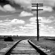
This site will provide students of history and the general public a chance to see how America (and also Mexico and Canada) gained access to the railroad and telegraph.
As data is compiled, it will be publicly available to academic researchers and the general public, both as machine-readable data and as interactive maps. As results come in, we will map railroad stations and telegraph offices and invite volunteers to correct our geocoding. These interactive maps will also allow volunteers to see which stations and offices they contributed to mapping.
We will be updating this page with educational resources on the history of the railroad and telegraph as the project progresses.