


This project has been built using the Zooniverse Project Builder but is not yet an official Zooniverse project. Queries and issues relating to this project directed at the Zooniverse Team may not receive any response.
You can do real research by clicking to get started here!
Zooniverse Talk
Chat with the research team and other volunteers!
RAD Views Statistics
View more statsAll Time Stats
Active Stats
Active stats provide information about currently active workflows and subjects.
Message from the researcher
Connect with the research team on Talk to learn more about this project!
About RAD Views
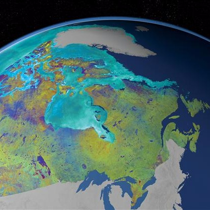
RAD Views invites you to look through RADARSAT images and simulated data to help analyze and spot special features. This project will be expanded to include data from RADARSAT Constellation mission once launched in 2018.
The RADARSAT Constellation mission – comprised of three small identical satellites – will provide complete global coverage and offer daily revisits of Canada’s vast territory and coastal approaches of all three Oceans: the Atlantic, the Arctic and the Pacific. Circling the Earth every 96 minutes, the satellites of the RADARSAT Constellation mission will offer daily access to 90% of the world’s surface.
Each satellite in the constellation will carry a synthetic aperture radar, as well as an Automated Identification System for ships (AIS), that will be used independently or in conjunction with the radar. The spacecraft will each have a capability to perform 15 minutes of active detection per orbit, for a total of 45 minutes across the constellation, enabling near-complete imaging of Canada and its maritime approaches on a daily basis, and partial coverage internationally. The three satellites will be deployed on a single launch in 2018. Each satellite of the RADARSAT Constellation mission has an estimated lifetime of seven years.
The RADARSAT Constellation mission will provide a “big picture” overview of Canada’s vast land mass, especially the Arctic, and navigable sea routes and coastal areas. The RADARSAT Constellation mission will increase Canada’s ability to monitor and manage its natural resources and environment, while enhancing the vigilant surveillance of our territory assuring Canada’s safety, security and sovereignty.